
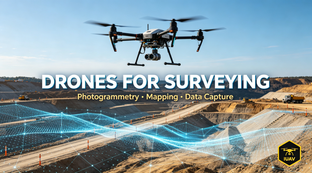
Drones for Surveying: Photogrammetry, Mapping and Data Capture for B2B Teams
How UAVs Are Transforming Survey Workflows
Surveyors once walked boundaries and drove total stations. Today, drone photogrammetry captures a construction site, quarry, mine or agricultural parcel in a single flight, then turns that imagery into centimeter-level orthomosaics, DSMs and 3D models. The productivity gain is dramatic — a site that took a crew a week takes a drone an afternoon. For survey firms, mapping contractors and engineering companies, drones are no longer optional; they are the deliverable tool. That creates steady B2B demand for the right platforms, accessories and spares.
IUAV Surveying and Mapping Platforms
Gimbal and Thermal Imaging (G330)
The G330 thermal imaging industrial drone is well suited to data capture. Its 3-axis stabilized gimbal delivers the steady, precise imagery that photogrammetry and inspection demand, while 6-direction obstacle avoidance lets it operate safely near structures and terrain. With 40 minutes of loaded endurance and 6km long-range transmission, it covers large survey corridors efficiently, keeping the pilot safely on the ground.
Portable Field Deployment (G360)
The G360 portable folding drone — 500g payload, 5KM video transmission, Level-7 wind resistance — is the practical field tool for survey teams on the move. It launches in minutes, handles windy site conditions, and streams live video for on-site verification while the survey continues. Its rugged folding form factor fits the vehicle and the job site, not a storage shelf.
DJI and Autel Professional Platforms
IUAV also supplies established DJI and Autel professional platforms that survey crews worldwide already standardize on, plus the drone accessories and FPV equipment teams need to extend their capability. Offering recognized professional brands alongside our own industrial platforms gives distributors a one-stop catalogue for survey customers.
Sourcing Survey Drones for Your Business
Survey work is recurring and volume-driven: the same sites re-flown monthly, the same batteries and props worn down on every campaign. IUAV wholesales the full consumable stack — flight controllers, VTX modules, cameras, ESCs, motors, propellers and batteries — at factory-direct pricing, with deep overseas-warehouse stock in Vietnam, Malaysia and Singapore so your survey fleet never sits idle between flights. Certifications including ISO 9001, CE, EAC, EASA and UN38.3 keep cross-border survey operations compliant.
Partner With IUAV for Survey Drone Supply
Whether you run a survey business, distribute to engineering firms or supply mapping contractors, IUAV delivers factory-direct pricing, stable stock and reliable lead times. Contact our product team on WhatsApp / Telegram: +852 5 619 8486 · https://iuavofficial.com/