
GDU S200 PRO Survey Drone Buying Guide | Dual-Sensor Zoom RTK cm-Grade Mapping UAV
Introduction The GDU S200 PRO series is a high-precision imaging platform for professional aerial survey and inspection. It features a dual-CMOS sensor system with 10X optical zoom (up to 160X hybrid zoom), onboard RTK for centimeter-level…
Introduction
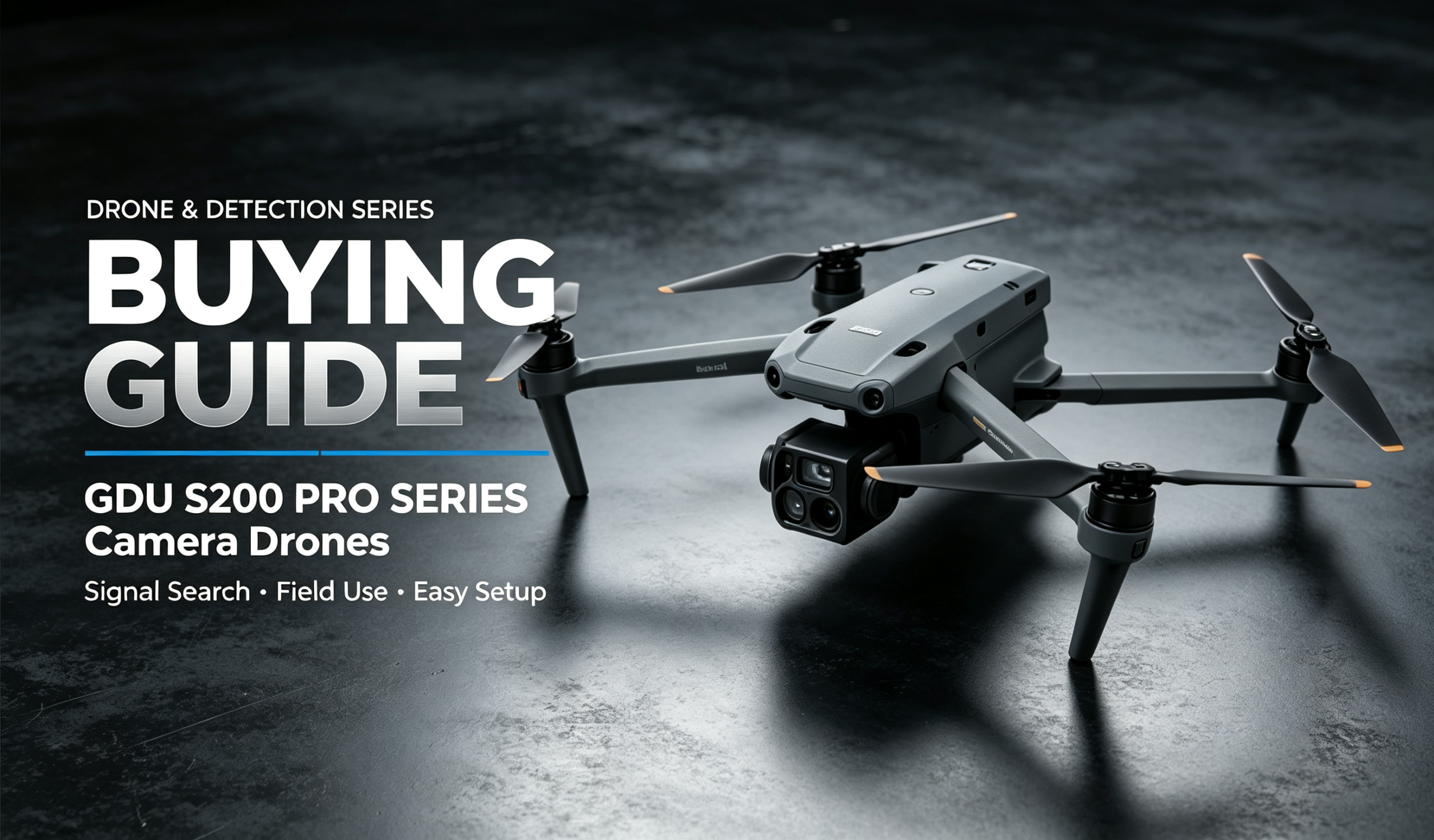
The GDU S200 PRO series is a high-precision imaging platform for professional aerial survey and inspection. It features a dual-CMOS sensor system with 10X optical zoom (up to 160X hybrid zoom), onboard RTK for centimeter-level hovering accuracy, 45-minute long endurance, up to 15km long-range transmission and IP43 protection. It is designed for topographic mapping, power line inspection, engineering survey and professional aerial photography. This buying guide helps you evaluate suitability, understand configuration priorities, match accessories, compare against thermal inspection drones / consumer drones and avoid common pitfalls for professional survey and inspection procurement.
Is This S200 PRO Survey Drone Right for You?
✅ Recommended scenarios
- Topographic mapping, land survey and engineering survey requiring centimeter-level accuracy.
- Power line, solar farm and industrial equipment inspection requiring telephoto detail observation.
- Professional aerial cinematography and large-format outdoor production.
- Security patrol, border corridor and large-facility long-range monitoring.
- Plateau and mountain field operations requiring high-altitude takeoff capability.
❌ Not recommended scenarios
- Night thermometry, fire monitoring and hidden target detection requiring thermal imaging (visible-light only).
- Heavy rain, submersion and highly corrosive environments (IP43 basic protection only).
- Fully autonomous flight in dense buildings and complex obstacle areas (no standard obstacle avoidance).
- Pure recreational use and casual travel photography on a budget, with low professional utilization.
Key Hardware Specifications & Procurement Notes
| Item | Specifications | Procurement Notes |
|---|---|---|
| Imaging System | 50MP wide-angle CMOS + 48MP telephoto CMOS; 10X optical zoom, up to 160X hybrid zoom; 3-axis gimbal stabilization | Dual sensors cover both panorama and detail; inspection without close approach. 10X pure optical preserves quality; 160X hybrid has digital quality loss. Confirm zoom accuracy requirements before purchase. |
| RTK Positioning | Onboard RTK module; hovering accuracy: 1.5cm+1ppm vertical, 1cm+1ppm horizontal | Centimeter accuracy meets professional survey standards. Accuracy depends on differential signal coverage. Drops to standard GPS without differential signal. Confirm coverage before operation. |
| Endurance & Link | Up to 45min standard endurance; control & video range: 15km (FCC), 8km (CE/SRRC/MIC) | Long endurance reduces field battery swaps. Select version matching target market. Range differs by regional certification. |
| Flight & Environment | 12m/s max wind resistance; 6000m max takeoff altitude; IP43 dust & splash resistant | 12m/s wind resistance for complex field weather; 6000m altitude for plateau/mountain operations. IP43 is dust and splash only; do not operate in heavy rain or submersion. |
| Airframe Design | Foldable arms; folded size 175×272×130mm; dry weight 1750g, max takeoff 2050g | Foldable and portable for single-person carry. Limited extra payload capacity; designed for reconnaissance only. |
Key takeaway: The core value of this model is professional survey accuracy + dual-sensor zoom inspection. For thermal imaging or obstacle avoidance requirements, consider the G330 first.
Battery & Accessory Checklist
🔋 Battery Selection
Comes with factory-matched battery for 45 minutes per flight.
- Short missions: single stock battery is sufficient.
- Extended field work: purchase 2–3 spare batteries to extend continuous operation time.
Procurement tip: use factory-matched batteries to ensure flight safety and consistent endurance.
🧰 Accessory Checklist
- Required (airframe included; some accessories sold separately):
- Professional remote controller & video receiver: matched operational control system.
- Dedicated balance charger: for factory batteries, safe and efficient charging.
- Spare propellers: consumable wear parts for field operations.
- Optional:
- Rugged portable transport case: equipment protection for field deployment.
- Spare batteries: extend continuous operation time.
- RTK base station: improves positioning in uncovered areas.
- Custom survey payload modules.
Side-by-Side Comparison: S200 PRO vs G330 vs Consumer Drone
| Item | GDU S200 PRO | G330 Thermal Industrial Drone | Consumer Camera Drone |
|---|---|---|---|
| Core Role | Professional survey, zoom inspection | Dual-light inspection, thermal thermometry | Civilian aerial photography |
| Imaging | 50MP wide + 48MP telephoto, 10X zoom | 4K visible + thermal, 3-axis gimbal | 4K/8K visible, gimbal |
| Positioning | RTK cm-grade | Standard GPS | Standard GPS / optional RTK |
| Obstacle Avoidance | None | 6-way full | Multi-directional |
| Endurance | 45min | 40min | ~30min |
| Link Range | 15km (FCC) | 6km | 8-12km |
| Core Advantage | Survey accuracy, zoom detail | Day-night dual-sensor, OA safety | Easy, cheap, full-featured |
| Best For | Professional mapping, telephoto inspection | Industrial inspection, rescue | Civilian photography |
Buying tip:
- Pick S200 PRO for professional survey and telephoto detail inspection.
- Pick G330 for day-night dual-sensor operation and obstacle avoidance priority.
- Choose a consumer drone for pure civilian recreational use and better value.
Procurement & Operation Pitfall Checklist
- ❗RTK depends on differential signal: centimeter accuracy requires differential coverage. Only standard GPS without signal. Confirm coverage before operations; add a base station for high-accuracy requirements.
- ❗Region-specific link versions: 15km FCC / 8km CE. Select the version matching your market and operational range to avoid compliance and range issues.
- ❗Protection rating limits: IP43 is dust and splash only. Never fly in heavy rain, submerge or operate in corrosive environments.
- ❗No standard obstacle avoidance: professional survey focus, no OA system. Complex environments rely entirely on pilot skill. Never rely on fully autonomous flight.
- ❗Hybrid zoom quality loss: 10X is pure optical with best quality. 160X is hybrid with digital degradation, for overview only.
- ❗Never exceed max takeoff weight: 2050g limit. Do not mount extra heavy loads, which will degrade performance and safety.
- ❗Compliance required: follow local airspace regulations. Never fly in restricted zones, above altitude limits or beyond range.
Final Buying Summary
The GDU S200 PRO is a high-precision platform built for professional aerial survey and telephoto inspection. Its core strengths are dual-sensor zoom for both panorama and detail, RTK centimeter accuracy for mapping, 45min endurance + 15km long-range link for large-area operations, and foldable portability for field work — ideal for professional mapping, power inspection and specialized aerial cinematography. Key purchasing takeaways: confirm core need is survey/telephoto rather than thermal/OA; select link version by region; add spare batteries for long field shifts; confirm RTK coverage for high-accuracy work. If you need day-night dual-sensor or active obstacle avoidance, the G330 is better suited. For pure recreational use, consumer drones offer better value. This S200 PRO is the optimal solution only when the requirement focuses on professional survey accuracy and telephoto inspection detail.
Product Page:https://iuavofficial.com/product/gdu-s200-pro-series-camera-drones/